Sacramento sits on a complex patchwork of alluvial deposits from the American and Sacramento Rivers, where near-surface geology can flip from stiff Pleistocene gravels to soft Holocene silts within a single city block. For the structural engineer working on a mid-rise in Midtown or a school addition in Natomas, that variability carries a direct consequence: seismic site class can change from C to D—or even E—over very short distances. A proper MASW survey maps those transitions using surface wave dispersion, delivering a VS30 profile that the building department will actually accept. In a city with Sacramento’s seismic hazard level and groundwater hovering within 10 to 20 feet of grade across much of the valley floor, getting the shear wave velocity right is what determines whether your lateral design stays inside the sane range or blows past budget.
Sacramento’s alluvial basin can bounce a project from Site Class C to Site Class D in less than 200 lateral feet—MASW is the only practical method to map that transition without drilling a borehole every 40 feet.
Scope of work in Sacramento
Risks and considerations in Sacramento
Sacramento’s Mediterranean climate—hot, dry summers followed by wet winters—creates a seasonal velocity cycle in the vadose zone that can shift VS30 by 10 to 15 percent between August and February. We learned this the hard way on a warehouse project near the Sacramento International Airport where a dry-season survey overestimated stiffness, and the winter groundwater rise softened the near-surface enough to flip the site class. The fix is straightforward: if the water table is within 15 feet of grade, we run a parallel test pit or CPT to log actual moisture conditions and adjust the inversion model accordingly. The bigger risk in Sacramento is a uniform-code default: the USGS VS30 proxy map assigns broad Site Class D to most of the valley floor, but local pockets of Holocene channel fill along the American River Parkway can push into Site Class E territory—and missing that in design means underestimating base shear. A single MASW line across the building pad is cheap insurance against a retrofit later.
Our services
Our Sacramento MASW surveys are built around what the local geology actually demands—deep passive arrays for basin sites, tight active spreads for infill lots, and deliverables that slot directly into the structural engineer’s workflow.
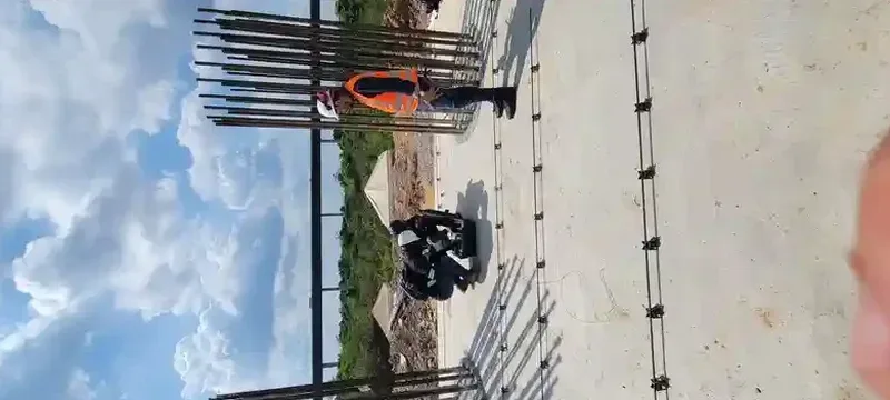
MASW for IBC Site Classification (VS30)
Active-source MASW with 24-channel spread, processed to extract VS30 and assign IBC Site Class A through F. Report formatted for plan-check submittal with the City of Sacramento or County of Sacramento building departments.
Passive-Array Microtremor Survey (MAM/SPAC)
Ambient-noise array using triangular or circular geophone layouts for depth penetration beyond 150 feet in the deep Sacramento basin. Ideal for mid-rise and essential-facility projects requiring velocity profiles to 300-foot depth.
Combined MASW + CPT Packages
Paired shear wave velocity and cone penetration testing on the same alignment, giving you both small-strain stiffness and drained/undrained strength in one mobilization. Common on Natomas and Downtown Sacramento projects with interbedded silts and sands.
Liquefaction Screening with Vs Profiles
Velocity-based liquefaction triggering analysis using Andrus & Stokoe (2000) and Kayen et al. (2013) procedures, correlated with SPT data where available. Applied routinely on Sacramento River levee adjacent sites and deep excavations.
Quick answers
How much does a MASW survey cost for a typical Sacramento single-family lot?
For a standard residential or light commercial lot in the Sacramento area, a single-line active-source MASW survey with VS30 determination typically runs between US$1,620 and US$3,370, depending on the number of spreads required, site access, and whether passive-array extension is needed for deeper profiling. Multi-line surveys or tight-access downtown sites fall at the upper end.
How long does it take to get a VS30 report after field work?
Field acquisition on a standard residential lot takes about two to three hours. After that, we run dispersion analysis, inversion modeling, and report drafting—usually delivering a signed PDF report within five to seven business days. Rush turnaround in 48 hours is available when the grading permit deadline is breathing down your neck.
Will the City of Sacramento accept MASW for site classification instead of downhole seismic?
Yes—the City of Sacramento building department and most Sacramento County plan-check reviewers accept surface-wave methods (MASW or ReMi) for VS30 determination, provided the survey follows accepted practice and the report includes raw dispersion curves and inversion parameters. For critical facilities or very deep profiles, we recommend confirming with a downhole check shot, but for 95 percent of commercial and residential projects, MASW alone is sufficient.
What depth does a MASW survey actually reach in Sacramento soils?
With a 24-channel active-source spread and a sledgehammer source, we can typically resolve shear wave velocity down to 80 to 100 feet in Sacramento’s alluvial soils. When the project requires a profile to 200 or 300 feet—common for taller structures or liquefaction studies—we add a passive-array setup using ambient noise, which extends the depth of investigation significantly without needing a drill rig.